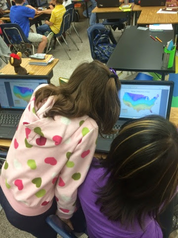
Continuing our work in GIS-This is a complex analysis! I overhear discussions of mountain ranges, currents & latitude
Wednesday, October 22, 2014
Tuesday, October 21, 2014
Map analysis!
When discussing how currents affect temperature, students retrieved a previous map to compare. Thank you split screen!
ArcGIS
ArcGIS maps to grapple with factors affecting climate. They compare and analyze US temperature data across 4 months.
Another great discussion!
Wow! The scholars of room 320 made us proud this morning as they discussed their #JuniorGreatBook story. They were focused and DEEP!
Monday, October 6, 2014
Come see our Rovers!
Rover Presentations to 8th graders today at 1:20pm and to parents on Friday at 11:45am. Join us if you can! We can't wait! Pictures to come!
Subscribe to:
Posts (Atom)