Mrs. Follin's Fourth Grade
Tuesday, October 21, 2014
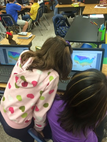
ArcGIS
ArcGIS maps to grapple with factors affecting climate. They compare and analyze US temperature data across 4 months.
No comments:
Post a Comment
Newer Post
Older Post
Home
Subscribe to:
Post Comments (Atom)


No comments:
Post a Comment